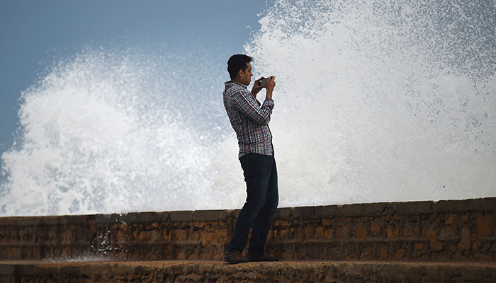
'DHA in Karachi not at risk from high tides'
"The cyclone will hit on June 15, and its effects will remain in place till June 17," says Sardar Sarfaraz
June 14, 2023

- "The cyclone will hit on June 15," Sardar Sarfaraz says.
- Effects will remain in place till June 17, weatherman says.
- Biparjoy is categorised as a very severe cyclonic storm.
KARACHI: Sindh Chief Meteorologist Dr Sardar Sarfaraz said Wednesday that the Defence Housing Authority (DHA) in the metropolis is not at risk from high tides, which are being caused as cyclone Biparjoy moves closer to Sindh's coastal lines.
As of the latest advisory from the Met Office, the cyclone — formed in the Arabian Sea — lies about 360 kilometers south of Karachi, 355 kilometers south of Thatta, 300 kilometers southwest of Keti Bandar.
The cyclone can cause heavy rains in Thatta, Sujawal, Badin, Tharparker, Mirpurkhas, Umerkot, and Karachi from 14-17 June.
"There are chances of rains on Sindh's coastal belt. The cyclone will hit on June 15, and its effects will remain in place till June 17," the chief meteorologist told Geo News.
But, he noted, that smaller settlements near the sea — including Ibrahim Hyderi and Rehri Goth — are still at risk. "The water comes on the roads near Hawkes Bay during the monsoon season as well."
Once the cyclone hits, Sarfaraz said, it will weaken and end in two days.
Biparjoy is currently categorised as a very severe cyclonic storm, down from an extremely severe cyclonic storm.
After the cyclone ends, the chief meteorologist said the weather in Karachi will return to "normal," and sea breeze will blow in the metropolis.
Biparjoy is expected to make landfall around Thursday evening between Mandvi in India's Gujarat and southeast Sindh near Keti Bandar and surrounding areas in Pakistan with a maximum sustained wind speed of 125-135 kilometers (78-84 miles) per hour, gusting to 150 kilometers (93 miles) per hour.
Around 100,000 people are expected to be evacuated today, with almost 20,000 being moved to safer places a day earlier as their areas remain under threat of the cyclone.


